📗 Hiking Guide for Mount Brunswick
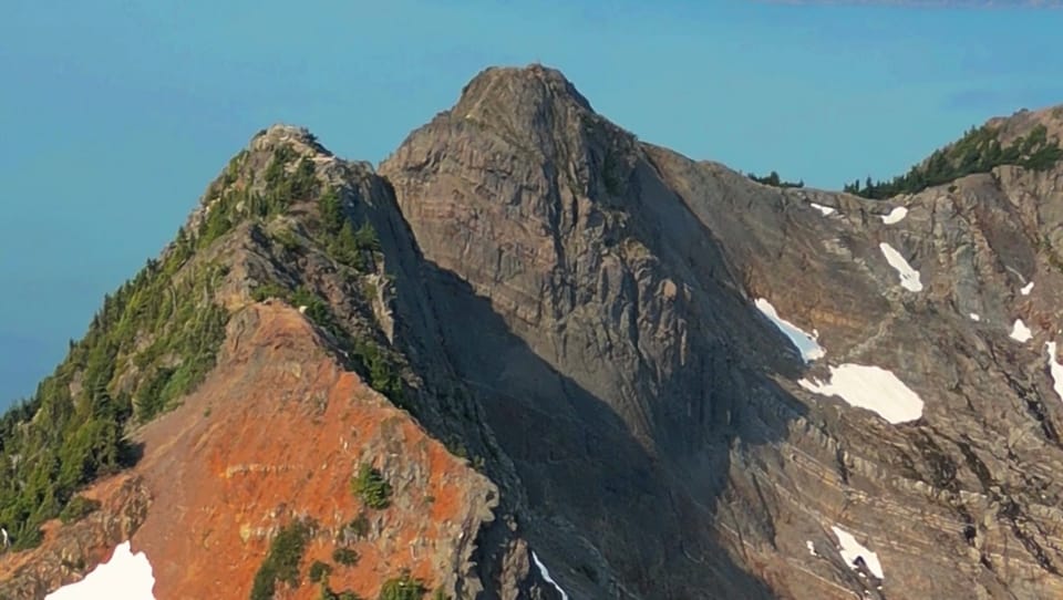
Vancouver’s Highest Elevation North Shore Mountain Hike
🏔️Overview
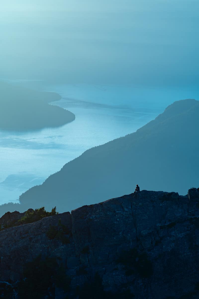
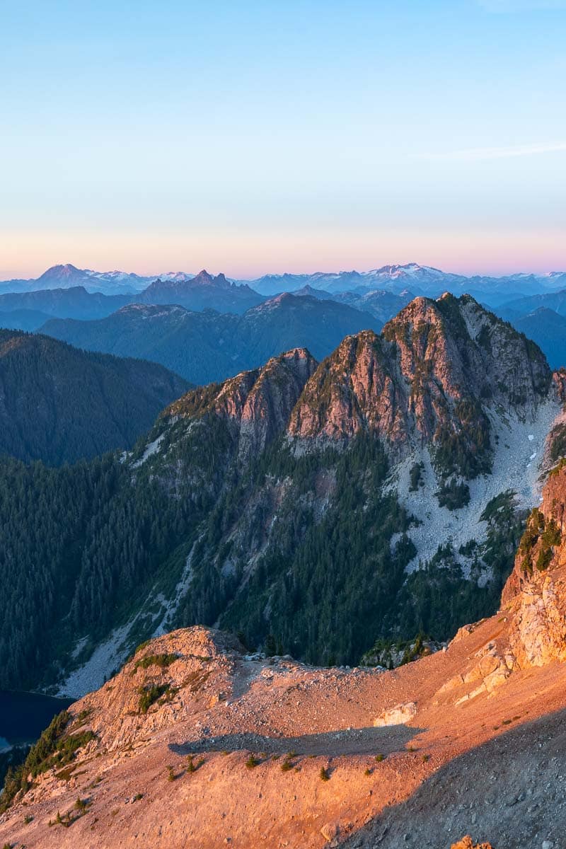
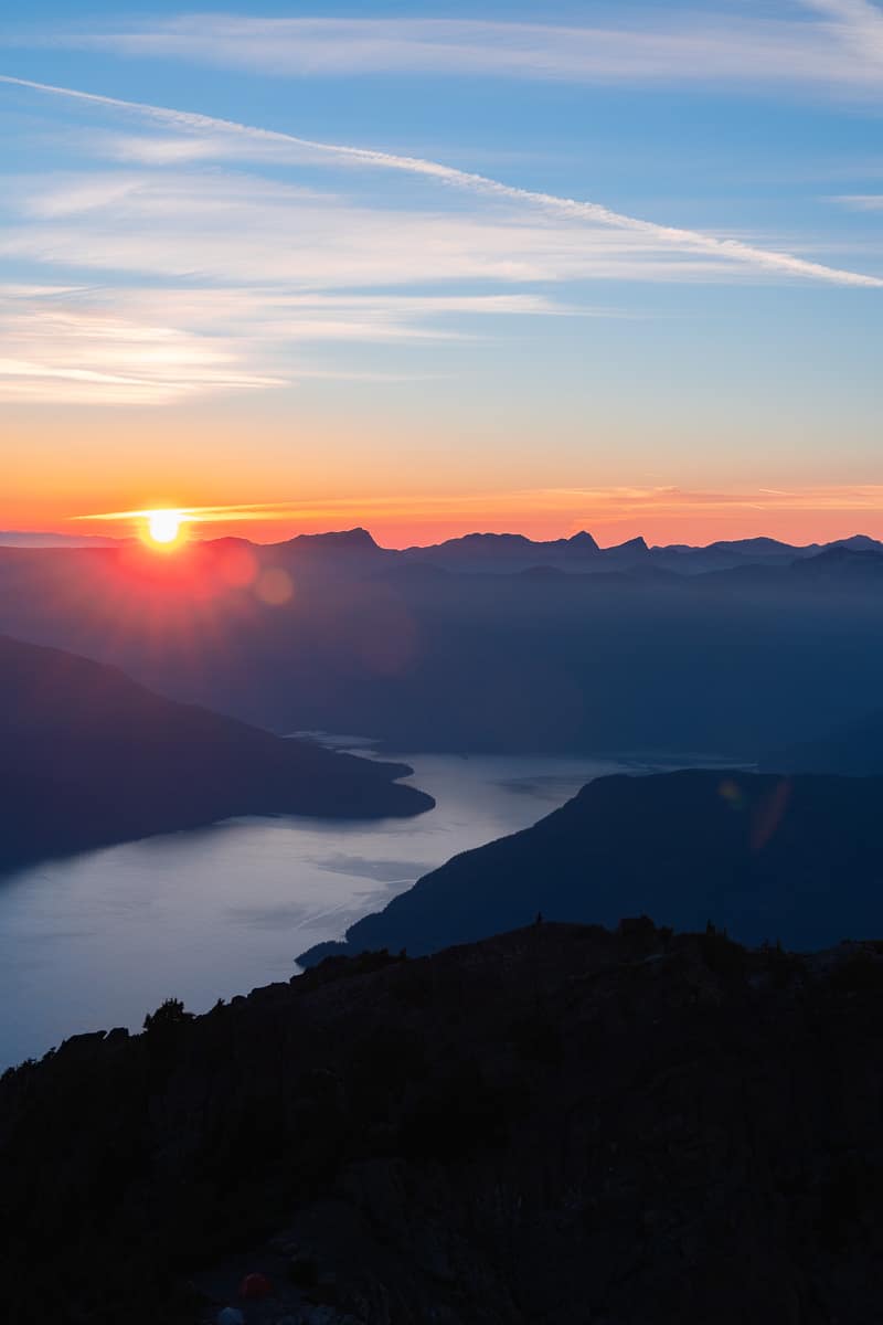
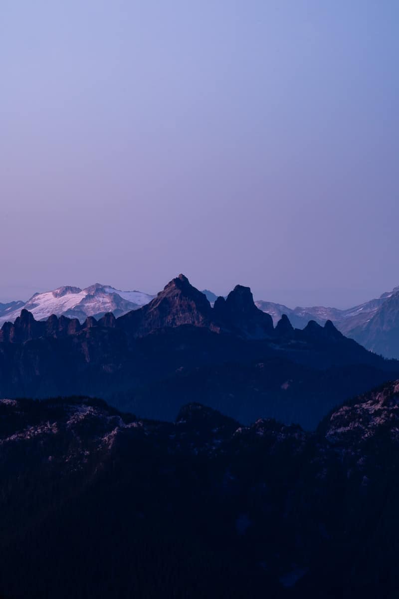
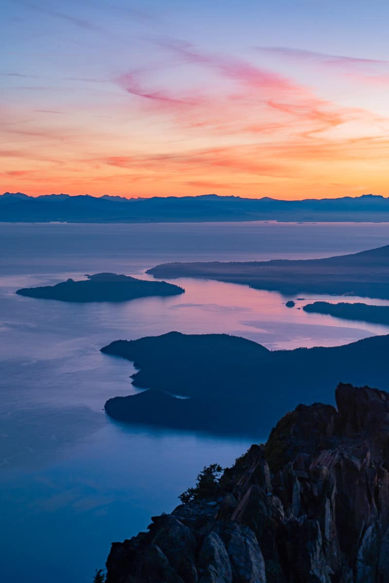
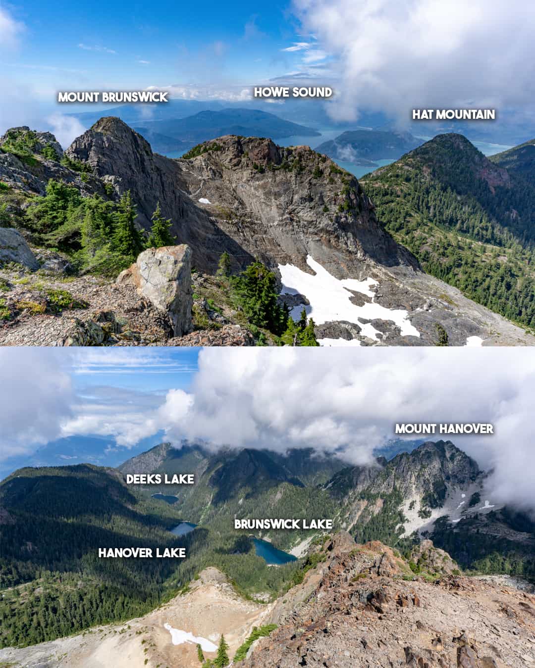
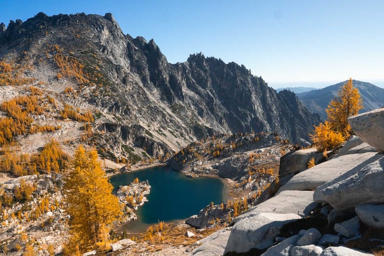
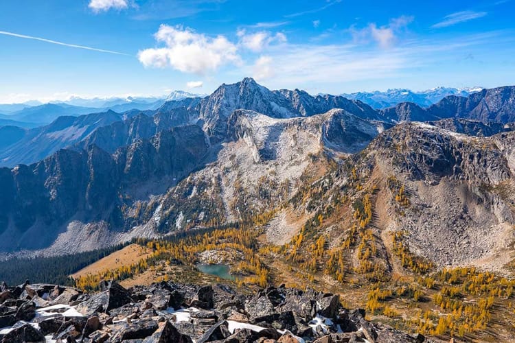
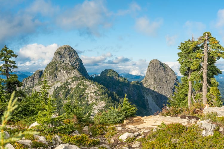
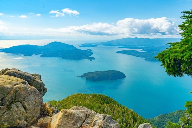
At 1780 meters tall, Brunswick Mountain is the highest peak in the North Shore mountains, offering a challenging hike for experienced adventurers. This steep trail features over 1,500 meters of elevation gain, leading to breathtaking views of Howe Sound, the Gulf Islands, and the Tantalus Range. The rugged terrain includes forested paths, alpine meadows, and rocky ridgelines, making it a rewarding but tough journey.
The best time to hike is from summer to early fall, as snow can linger on the upper sections. Proper gear, including sturdy boots, is essential due to the steepness and scrambling sections near the summit. For those seeking a thrilling and scenic hike in British Columbia, Mount Brunswick is a must-visit destination, providing stunning vistas and an unforgettable outdoor experience.
So, how hard is it?
💪 Trail Difficulty
Distance: 15 km round trip
Elevation Gain: 1,500 meters
Time: 7-9 hours
Difficulty: Difficult
The ridge scramble isn't too technically difficult, however, there is a good deal of exposure in some sections that will make many hikers unwilling to scramble the entire ridge line. If this is you, have no fear, great views can be seen sub-summit, and the first popular stop for photos on the ridge is fairly easy to navigate.
As far as I'm aware, there have been no recorded deaths from hikers on Mount Brunswick, which can't be said for other peaks in the area such as Mount Harvey or the West Lion.
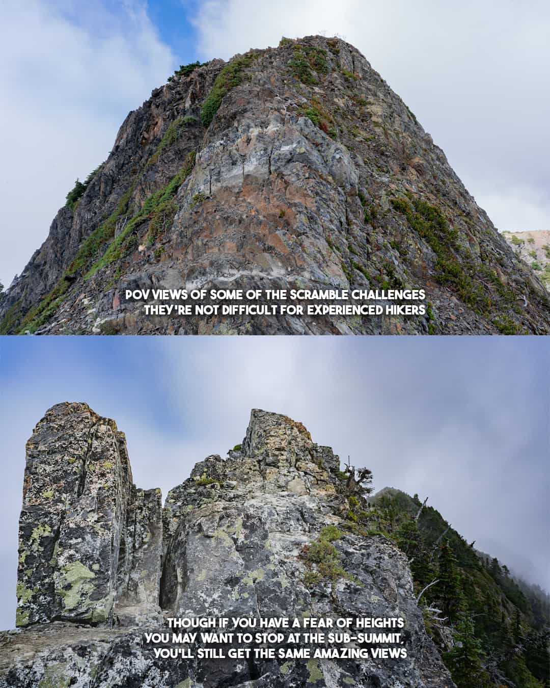
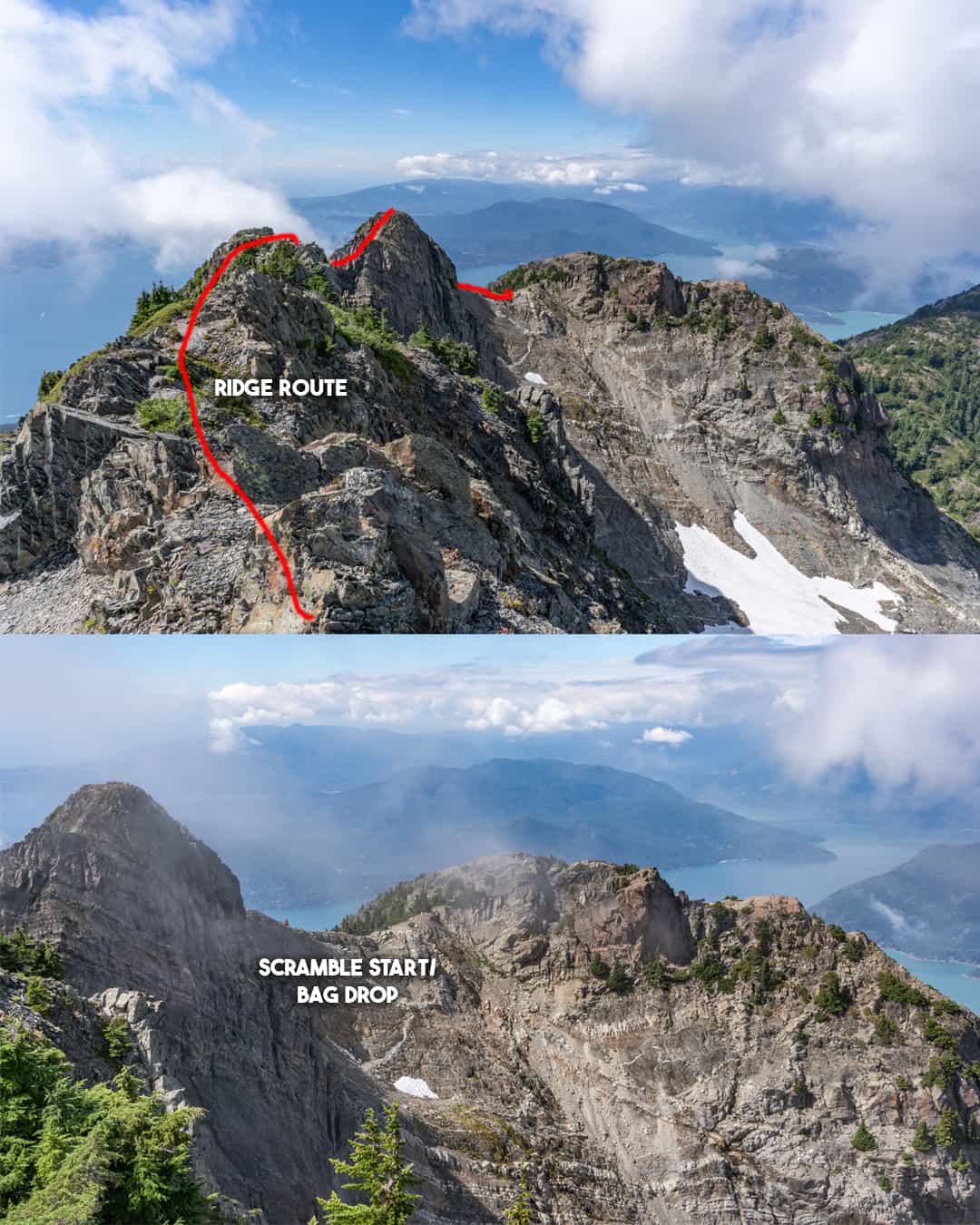
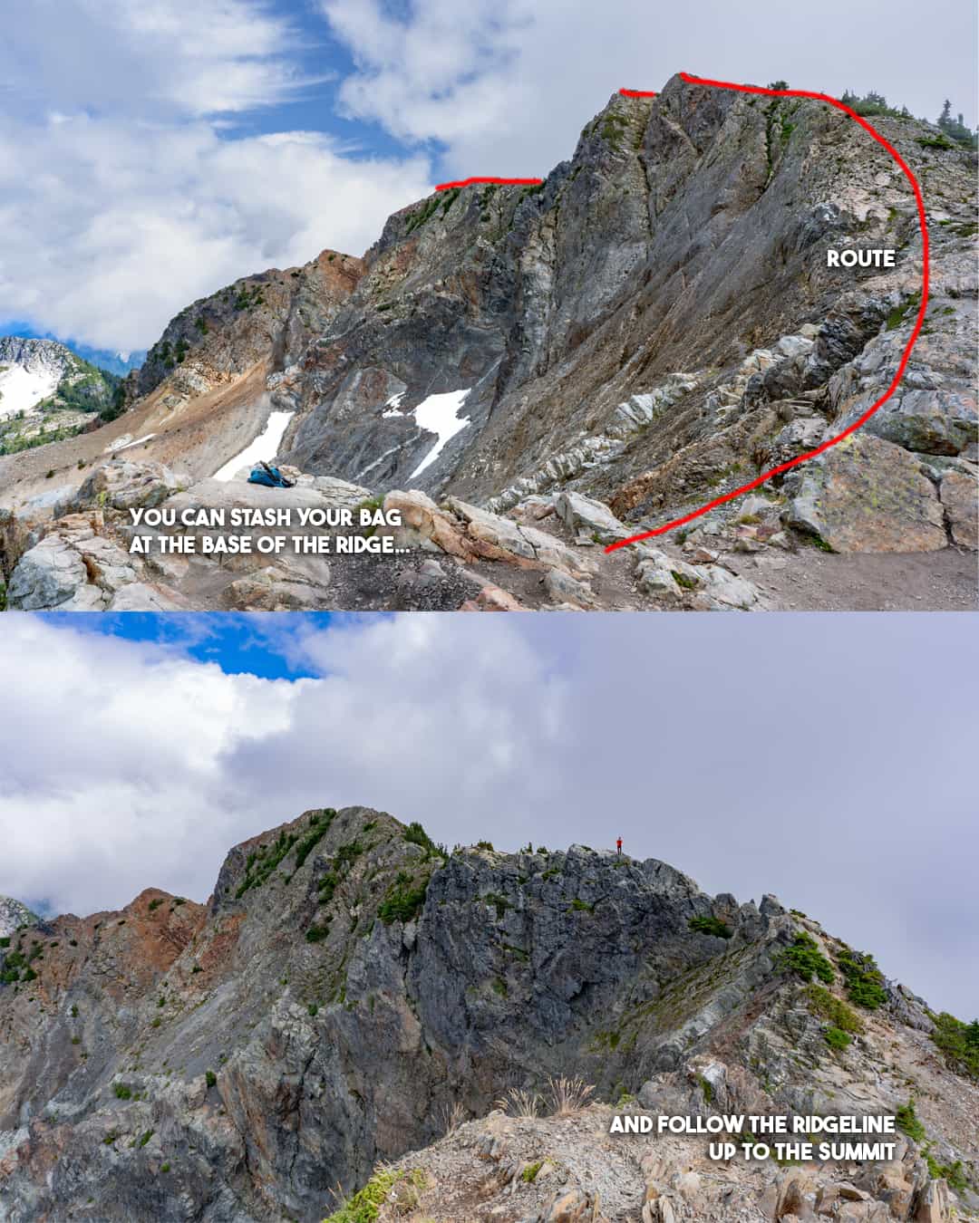
The Brunswick Mountain Scramble can seem scary, but it's not technically difficult, the challenge is mostly mental
How do you get there, park, and navigate the trail?
🚗 Driving Instructions from Vancouver
- From Vancouver, take Highway 1 (Trans-Canada Highway) west towards Horseshoe Bay.
- Merge onto Highway 99 north towards Squamish.
- After about 12 km, take the Lions Bay Avenue exit.
- Turn left onto Oceanview Road and follow it up the hill.
- Continue on Oceanview Road, which becomes Mountain Drive.
- Turn left onto Sunset Drive and follow it to the trailhead parking area.
Note that parking is limited, and you'll need to pay for a parking spot. Arrive early, especially on weekends, as the area can get crowded.
🥾 Trail Instructions:
- Start on the gravel road, which gradually ascends.
- After a short distance, at the fork in the trail take a left, following signs for Brunswick and Tunnel Bluffs
- follow the trail past a stream, this is your last stop for water before the steep ascent
- At the next junction, take a right at the fork marked for Brunswick Mountain
- Follow this trail as it ascends through the forest.
- The trail is steep and features several switchbacks.
- Continue straight at the junction where the Brunswick trail meets with the Howe Sound Crest Trail
- The trail becomes steeper as you climb through alpine meadows.
- Keep following the marked trail as it leads you to the summit of Mt. Brunswick.
👇 Trail Tips, Summit Photos + Video of St Marks Summit, continued below...
💡 Tips
Trail Markings: The trail is well-marked but steep. Follow the Brunswick Mountain signs closely, as there are multiple junctions with other trails.
Steep Ascent: The first part of the trail climbs steadily through the forest, and the second half becomes steeper with rocky sections. After the turnoff from Tunnel Bluffs it's a consistent elevation gain for the rest of the hike. Prepare for a leg workout!
Water Sources: The last water source is at the Tunnel Bluffs turnoff, conserve your water accordingly.
Summit Scramble: Near the top, you’ll encounter a rocky scramble to the summit. Take your time, especially if the rocks are wet or loose. It's not too technically difficult, but the exposure can present a mental challenge at times.
Weather Caution: Check the forecast, as conditions can change quickly. Snow can remain late into the season, and the summit is exposed to wind.
Time Management: The round-trip takes 6-9 hours depending on pace, so start early to avoid getting caught out after dark. Don't forget a headlamp if you're aiming for a sunset hike.
Wildlife Awareness: Keep an eye out for wildlife, including bears, which are common in the area. Carry bear spray and know how to use it.
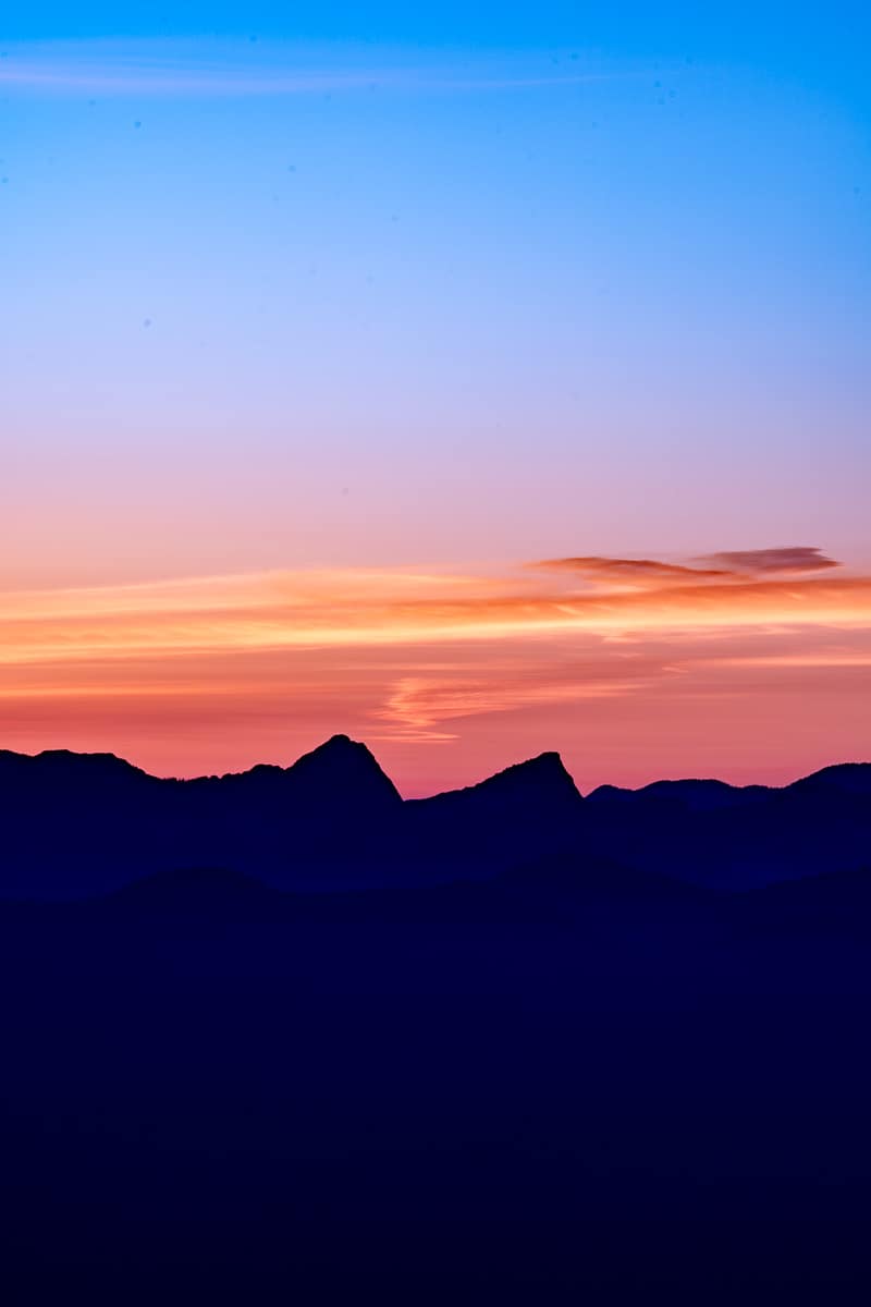
🤩 The Views
Member discussion