📗 Hiking Guide for St. Mark’s Summit
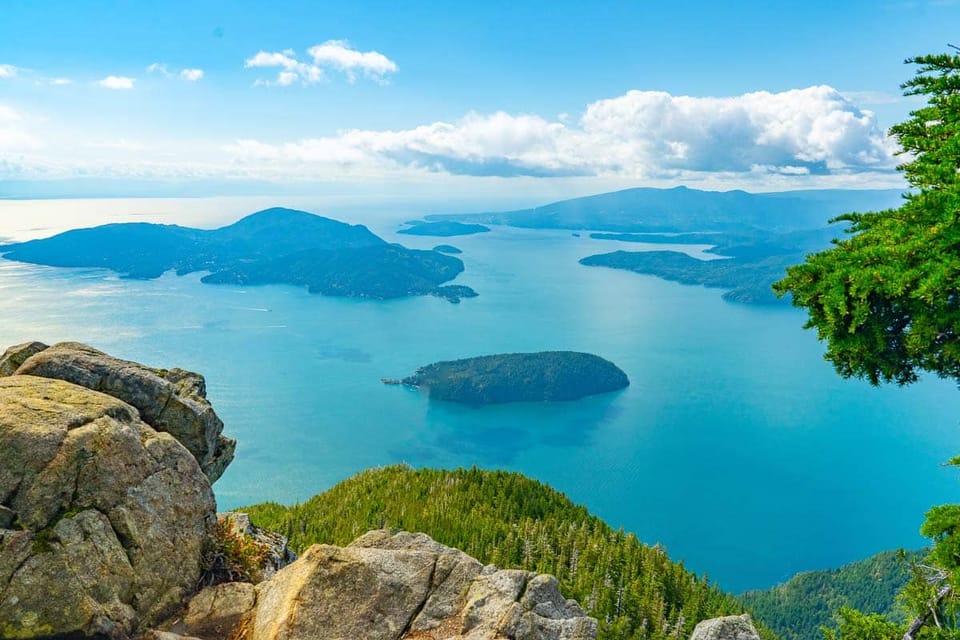
Vancouver’s Best Summit Hike for Ocean & Mountain Views
⛰️ Overview
Just a short drive from the city, the trail offers stunning views of Howe Sound, forested trails, and an alpine environment without venturing too far into the wilderness. It’s a moderately challenging hike with a reward of panoramic vistas that rivals longer, more remote hikes. Less intense than the Grouse Grind and less crowded than The Chief, St. Mark’s Summit strikes the perfect balance of adventure, scenery, and accessibility.
So, how hard is it?
🤓 Trail Difficulty
Distance: 11 km round trip
Elevation Gain: 600 meters
Time: 4-5 hours
Difficulty: Moderate
How do you get there, park, and navigate the trail?
🥾 Trail Instructions
- Trailhead:
- From the parking lot, locate the trailhead near the ski lodge. The trail starts directly from this area and is marked with signs indicating St. Mark's Summit.
- Start:
- Terrain: The trail initially descends gently through a forested area with a mix of dirt and gravel.
- Elevation Change: The starting elevation is around 1,000 meters (3,280 feet), dropping slightly for the first few minutes.
- Fork in the Trail:
- Navigation: After approximately 10 minutes of hiking, you will reach a fork. Take the left path to continue toward St. Mark's Summit (the right path leads to Black Mountain).
- Terrain: The trail remains well-marked and begins to ascend.
- Ascent Begins:
- Elevation Gain: The trail begins a steady climb, gaining about 400 meters (1,300 feet) in elevation as you ascend toward the summit.
- Terrain: The path becomes steeper and more rugged, with rocky sections and tree roots. The surface is often uneven, so maintain focus on your footing.
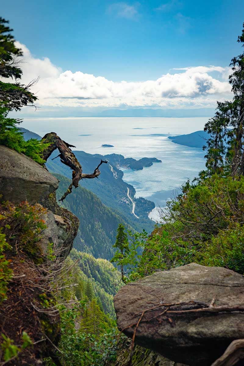
- Features: Look for viewpoints along the way; they provide glimpses of Howe Sound and the surrounding mountains.
- Final Ascent:
- Elevation: As you near the summit, you will gain the final elevation to approximately 1,400 meters (4,593 feet).
- Terrain: The trail becomes steep. Look for trail markers and signs indicating the summit.
- Summit Area:
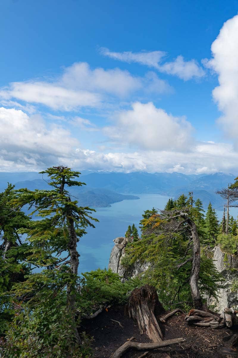
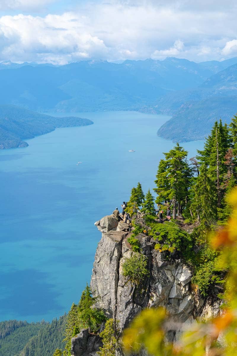
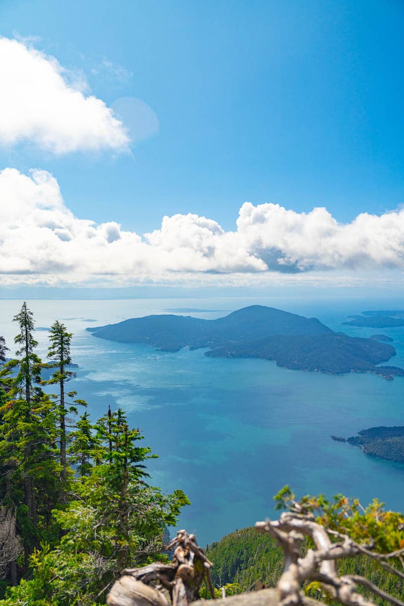
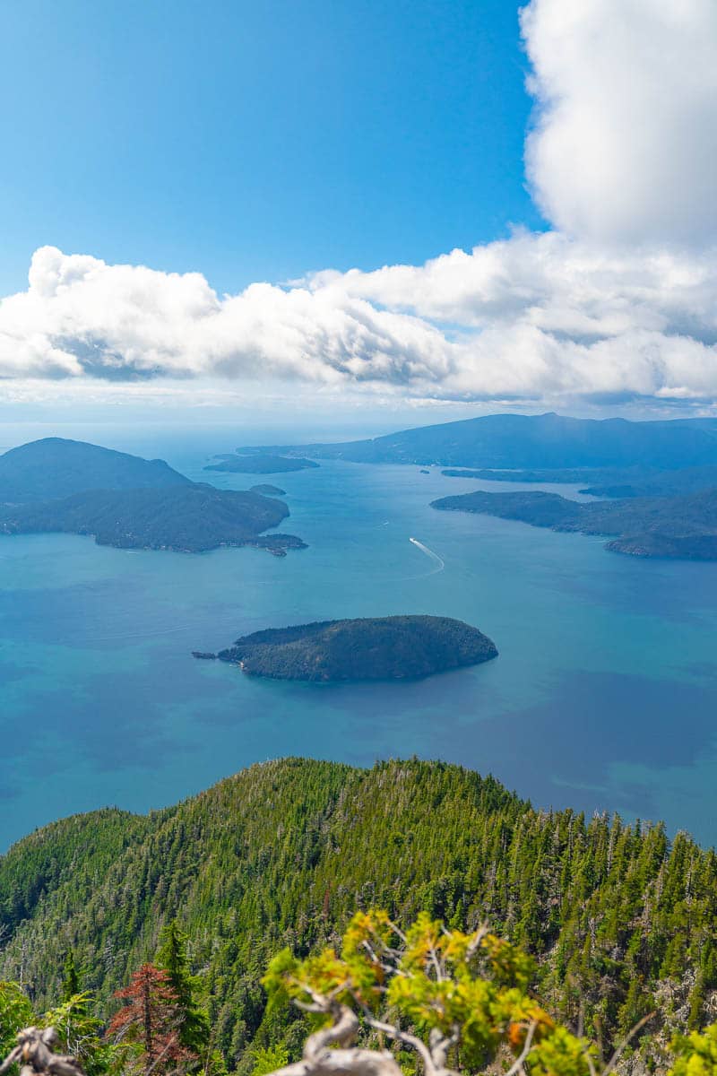
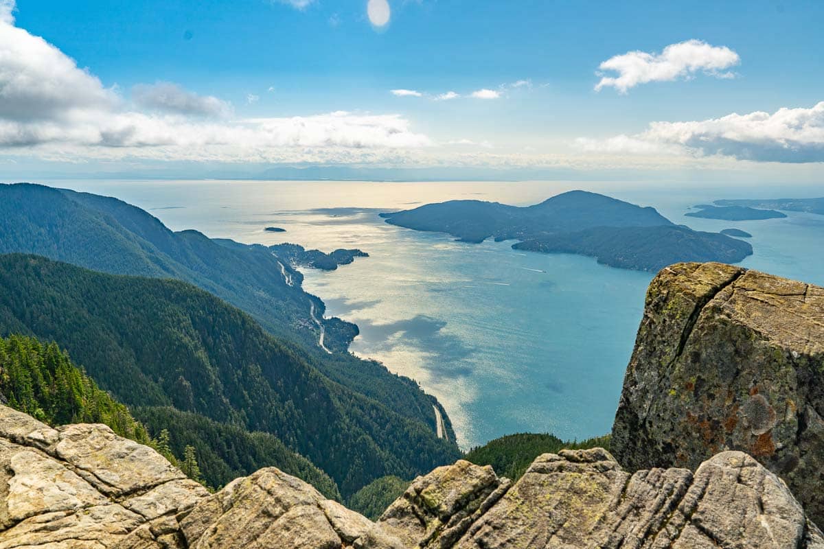
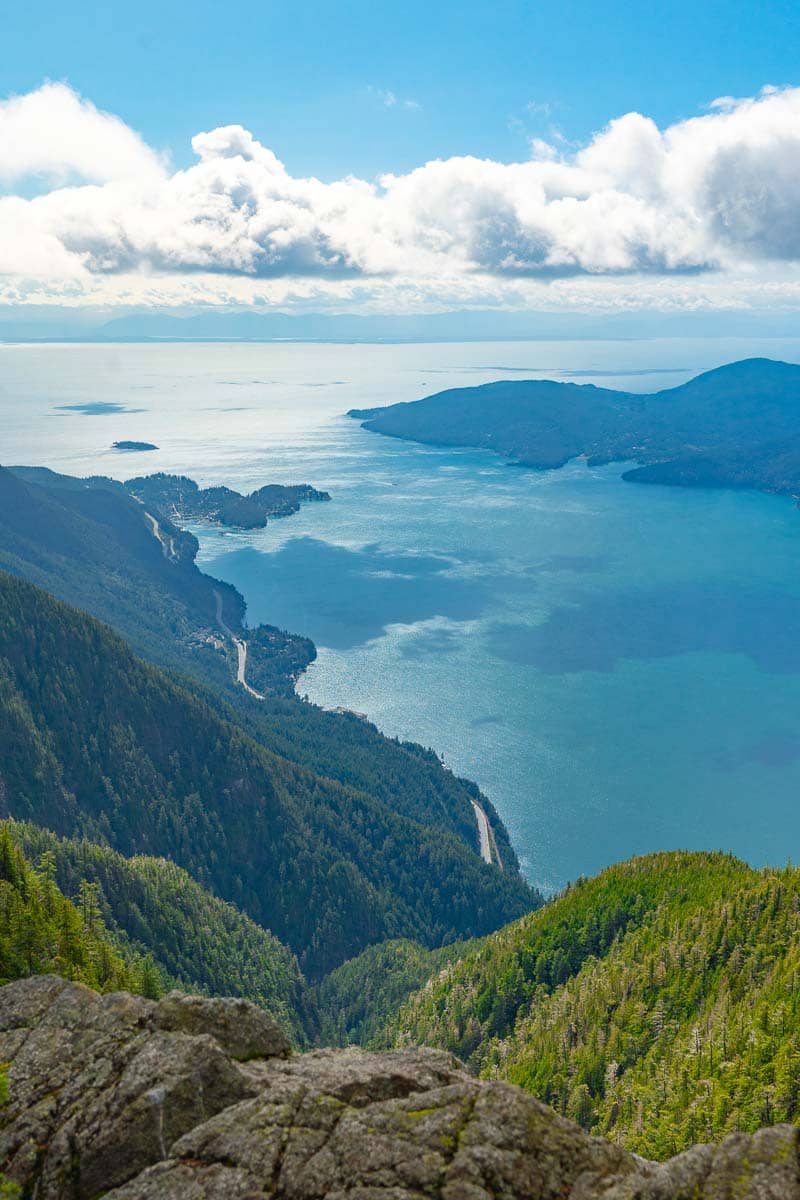
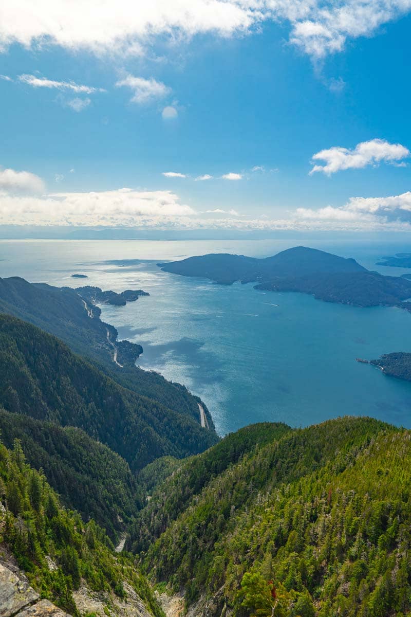
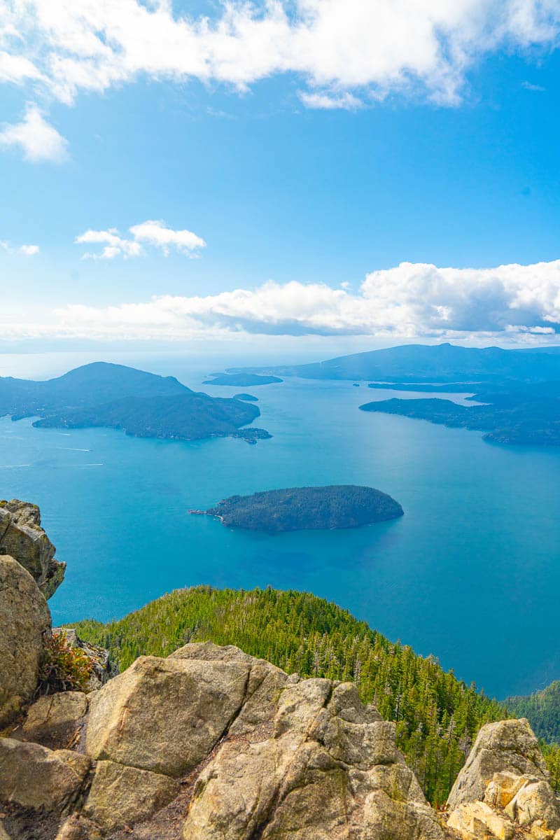
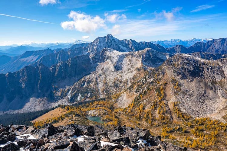
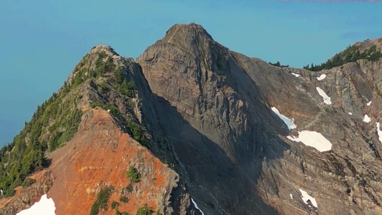
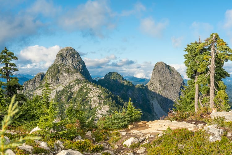
- Features: Once you reach the summit, enjoy breathtaking views of Howe Sound, the Tantalus Range, and surrounding peaks. There are open rock areas perfect for photos.
- Notes: Take your time at the summit to appreciate the scenery and capture some pictures - plan for enough time there as it can be busy during peak times.
Descent
- Return Trip:
- Instructions: Follow the same trail back down, paying close attention to footing in steep and rocky areas.
- Timing: Plan for a return trip of about 1.5 to 2 hours.
👇 Trail Tips, Summit Photos + Video of St Marks Summit, continued below...
💡Tips
Start Early: The trail can get busy, especially on weekends.
Family-Friendly: The trail is suitable for moderately experienced hikers, but it’s also great for families with older children.
Trail Conditions: The St. Mark's Summit trail can be muddy and slippery, especially after rainfall. Consider wearing gaiters and trekking poles for better traction and stability on the wet sections, especially in the off season.
Elevation Gain: The hike involves a steady ascent of about 400 meters (1,300 feet). Pace yourself and take breaks as needed to manage the elevation gain without overexerting yourself.
Summit Views: The summit offers breathtaking views of Howe Sound, the Tantalus Range, and the surrounding mountains. Plan to spend time at the viewpoint for photos and to soak in the scenery.
Timing for Sunsets: If you plan to hike for sunset views, allow plenty of time to reach the summit and set up for your photos. The trail can take around 1.5 to 2 hours to hike, so start well before sunset to avoid rushing.
🤩 The Views
Member discussion